Grand-Popo Map: Neighborhoods, Beaches and Points of Interest
Grand-Popo stretches about 15 kilometres along the coast, between the Atlantic Ocean and the Mono River. Unlike large beach resorts, the town does not have a single centre but a constellation of neighbourhoods each with its own distinct character. Understanding this Grand-Popo map helps you choose where to stay, where to eat and how to organise your days. This guide gives you the essential landmarks to navigate the town with ease, even without an internet connection.
Grand-Popo geography
The commune of Grand-Popo covers roughly 289 square kilometres and has a population of about 60,000. Its narrow territory runs between the ocean and the Mono River, which forms the natural border with Togo. The historic town, inherited from Portuguese and French colonial trading posts, stretches along the old national road, while newer tourism developments cluster near the shore. The Grand-Popo map divides into three parallel bands: the waterfront with beaches and lodges, the central urban band with shops and services, and the river zone with fishing villages and mangroves.
The main transport arteries are the RNIE1, which crosses the town from southeast to northwest toward Togo, and the coastal road connecting the beaches to accommodations. A zemidjan (motorbike taxi) for 200 FCFA (0.30 EUR) per trip in town remains the most practical way to get between neighbourhoods.
Main neighborhoods
Avlo is Grand-Popo's central, busiest area. Here you find the main market, banks, petrol stations and most shops. The town hall and police station are also located here, making it the ideal reference point for orientation. Avlo market, active daily, is where to buy fruit, vegetables and local products.
Gbakpodji extends west of Avlo, closer to the Mono River. This residential and agricultural area is crisscrossed by canals and palm trees. Eco-tourism lodges are springing up along the riverbanks, offering a peaceful setting for nature-seeking travellers.
Adjaha is the last village before the Togolese border. Its protected area, Bouche du Roy, attracts birdwatchers and pirogue excursion enthusiasts. Life here is governed by fishing and the tides.
Heve lies to the east, toward Cotonou. Less touristy, this area contains traditional homes and oil palm plantations. Visitors are rare here, making it a good base for an authentic immersion.
The waterfront
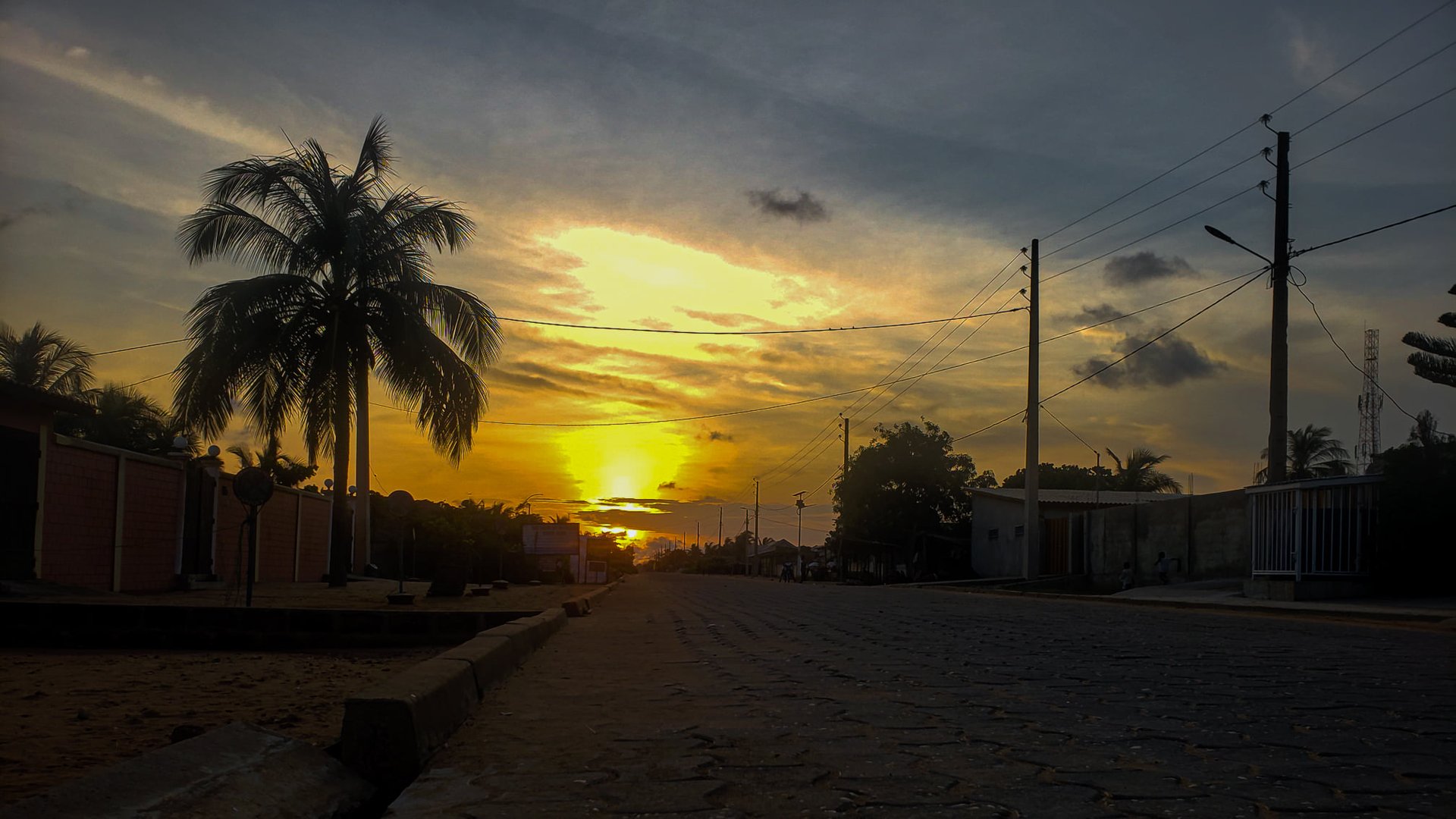
Grand-Popo's waterfront stretches nearly 15 kilometres, from Bouche du Roy beach in the west to the edges of Heve in the east. Unlike developed beaches elsewhere, access here is free and coconut palms grow right up to the sand. Most accommodations are concentrated along this coastal strip, particularly around Lion Bar, a local institution.
Waterfront accommodation prices range from 15,000 to 80,000 FCFA (23 to 122 EUR) per night, depending on the standard. The coastal road, partially paved, allows cycling or zemidjan travel between lodges. In the morning, fishermen sort their catch on the beach in front of the hotels, a daily sight worth experiencing.
The Mono River area
The Mono River forms the backbone of Grand-Popo's ecosystem. Its banks shelter fishing villages, plantations and dense mangroves. The area is accessible via tracks branching off the RNIE1 toward the north. Pirogue excursions, organised by local fishermen, allow you to discover the river's richness for 5,000 to 10,000 FCFA (8 to 15 EUR) per person.
The riverside neighborhoods, like Gbakpodji and the edges of Bouche du Roy, offer a striking contrast to the touristy waterfront. Here, pirogues replace cars and stilt houses line the canals. Fishing, the main economic activity, supplies fresh fish and prawns to the town's restaurants.
Cultural sites
The Grand-Popo map includes several essential cultural sites. Villa Karo, a Finnish artist residency housed in a former colonial home, hosts exhibitions and cultural events. The Sobrado, a 19th-century Afro-Brazilian house, testifies to the heritage of former slaves who returned from Brazil. Vodun convents, discreet but numerous, can be identified by their altars and totems planted in front of compounds.
The local museum, near the Avlo town hall, displays collections of traditional Xwla objects and historical photographs. Entry is free, a donation of 1,000 FCFA (1.50 EUR) is appreciated to support conservation.
Beaches
Grand-Popo has several beaches with different atmospheres. Lion Bar beach is the most famous: a festive vibe with deck chairs and sunset cocktails. Further west, Bouche du Roy beach offers kilometres of deserted sand, perfect for walking and birdwatching. To the east, Heve's beaches are nearly virgin, used only by local fishermen.
Each beach has its own microclimate due to currents and proximity to the river. Those most exposed to the wind are excellent for kitesurfing. Swimming is possible everywhere, but follow local advice: currents can be strong near river mouths.
Getting around without GPS
Mobile coverage is good in Grand-Popo, but it is easy to navigate without a connection. Natural landmarks are plentiful: the ocean has always been the best guide. Facing the sea, Togo is on your left and Cotonou on your right. The RNIE1 runs through the entire town parallel to the coast: you cannot miss it.
Locals know all the lodges, bars and important sites. Asking for directions is normal and met with a smile. A few words of French suffice, with Xwla and Gun being the local languages. When in doubt, Avlo market is the central reference point: all neighbourhoods are connected to it by zemidjans.
For the more methodical, a paper version of the Grand-Popo map is available at the reception of most lodges and at the tourist information office near the town hall.
Plan Your Visit
Discover the magic of Grand-Popo with our curated local experiences.